
Bike Isochrone Map: Cycling Times from Offenbach to Every Municipality in Germany
Published:
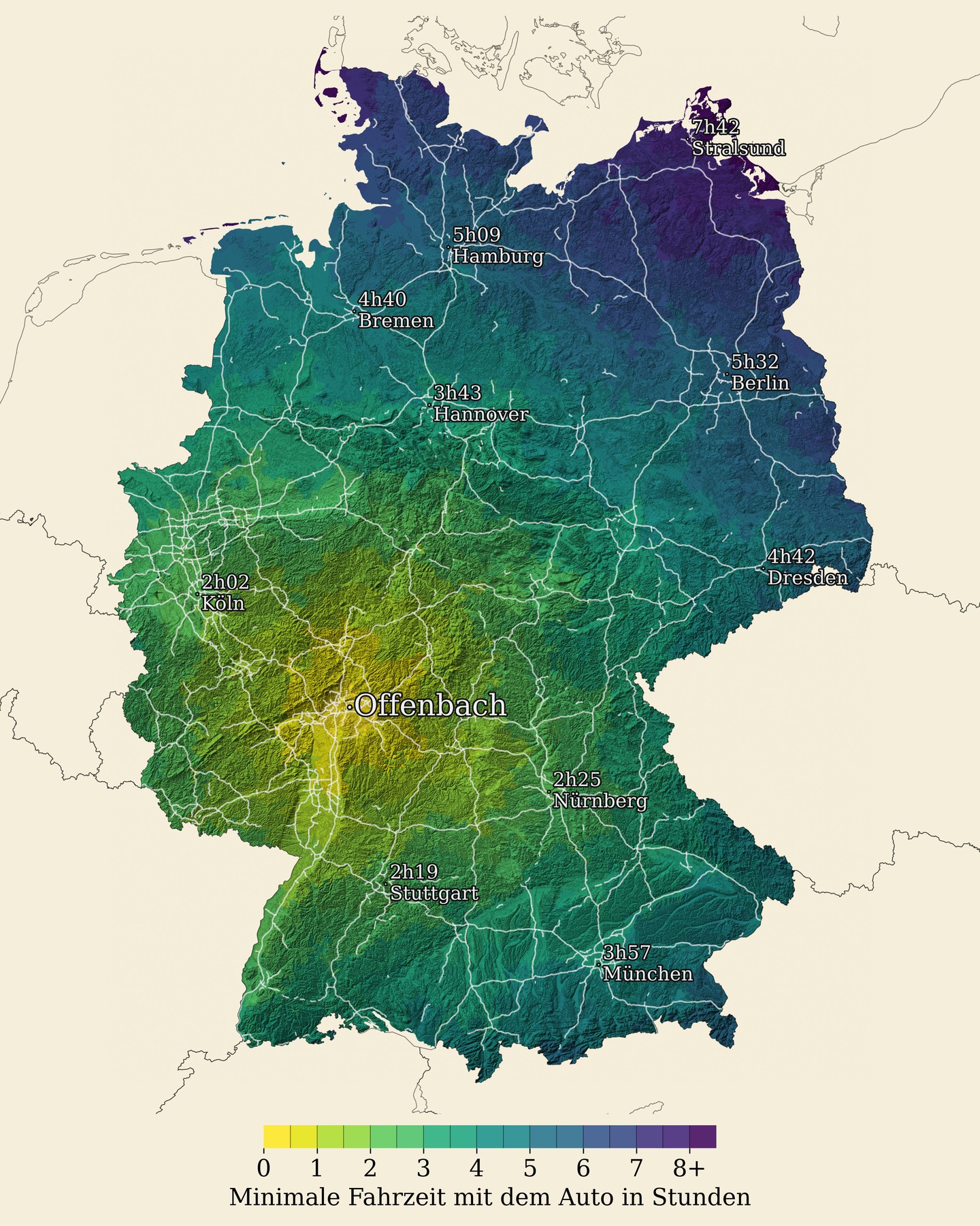
A companion piece to the car isochrone map. This time: cycling routes from Offenbach to every municipality in Germany, calculated with OSRM. Travel times are in hours, color-coded.
The topographic hillshade is back, but this version drops the highway overlay in favor of rivers – which makes more sense for a cycling context and looks better against the terrain.
Routes were computed using OSRM’s bicycle profile, which respects cycling infrastructure, avoids motorways, and accounts for elevation. The result looks quite different from the car version: the isochrones spread more unevenly, shaped by bike path infrastructure and topography rather than the Autobahn network.